Geographer - Urban Planner
Learn QGIS
from someone
who actually uses it.



I also teach GIS at ESGI, create QGIS video courses for Elephorm and mentor participants in the European programme Innovate with EU Space Data.
The course is built around practical experience, with hands-on exercises adapted to your level, your professional needs and, where possible, your own data.
A preliminary call helps define your goals and focus on exercises directly linked to your professional challenges.
Companies and local authorities
Train a team on QGIS, build autonomy with GIS tools and integrate mapping into your day-to-day work.
Consultancies, urban planners and GIS professionals
Handle geographic data, run spatial analyses and produce maps for your studies and projects.
Freelancers and career changers
Anyone who wants to learn the basics of digital mapping with QGIS, whether freelancing, changing careers or simply out of professional curiosity.
Module 1 · The fundamentals
Getting started with QGIS, importing and organising your geographic data, understanding coordinate systems and creating your first map layouts.
The goal is for you to feel confident using the core features of QGIS independently, without unnecessary jargon.
Module 2 · Managing and querying your data
Selections, attribute and spatial queries, joins and structuring your layers.
We work on real cases from your sector: urban planning, environment, energy, real estate or regional development.
Module 3 · Spatial analysis
Layer overlays, buffers, proximity calculations and spatial statistics.
This module is built around a case study, from framing a question to obtaining a usable result. The content is adjusted to the group's level and to the goals defined beforehand.
Module 4 · Creating and sharing maps
Professional map layouts, choosing the right representations and publishing interactive web maps with Leaflet, including a personal project chosen as a group.
You'll leave with a completed map, built around your own question and reporting needs.
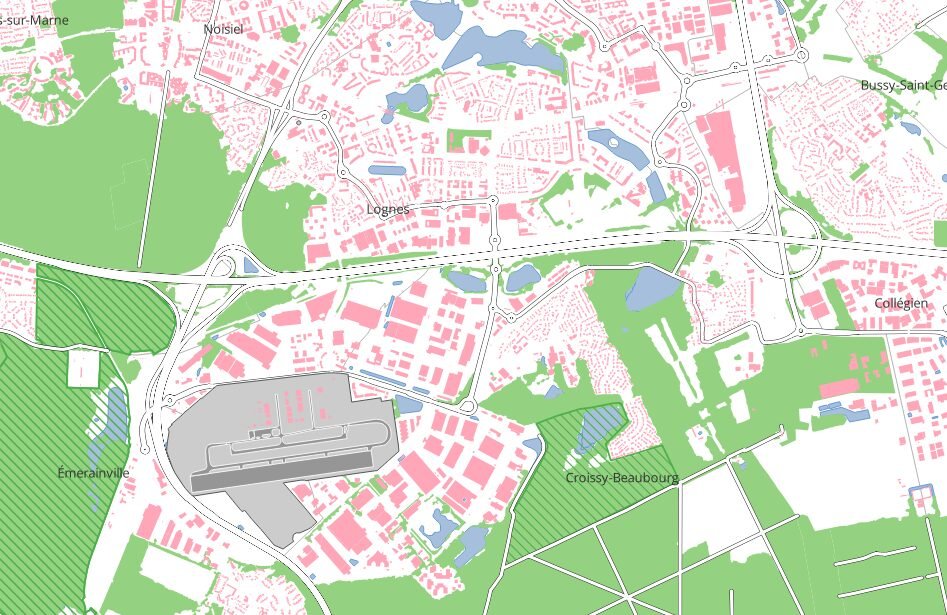
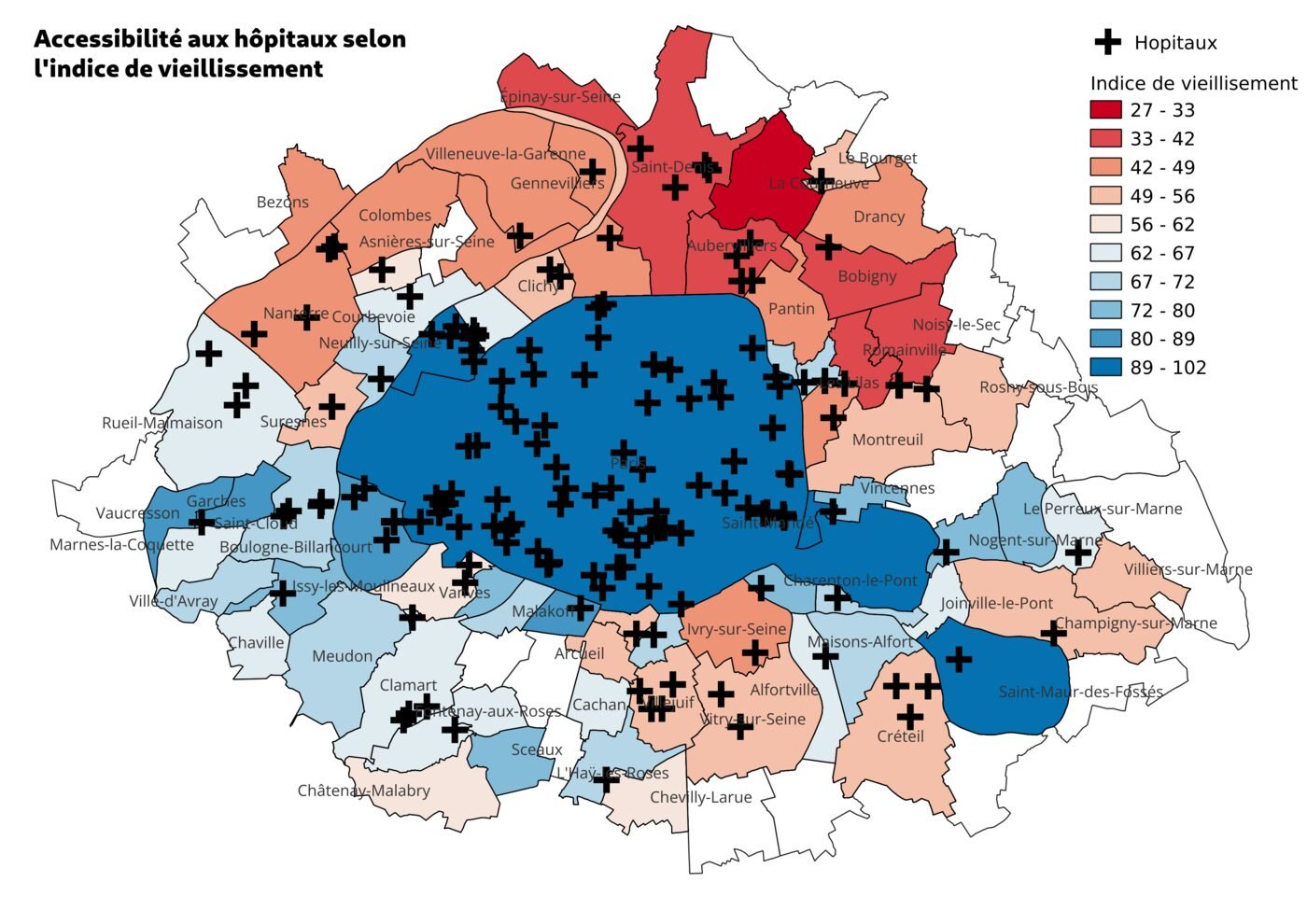
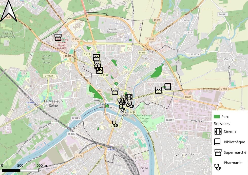
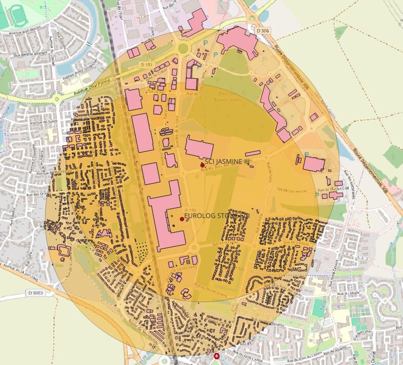
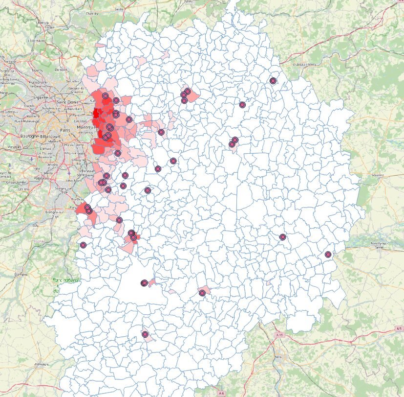
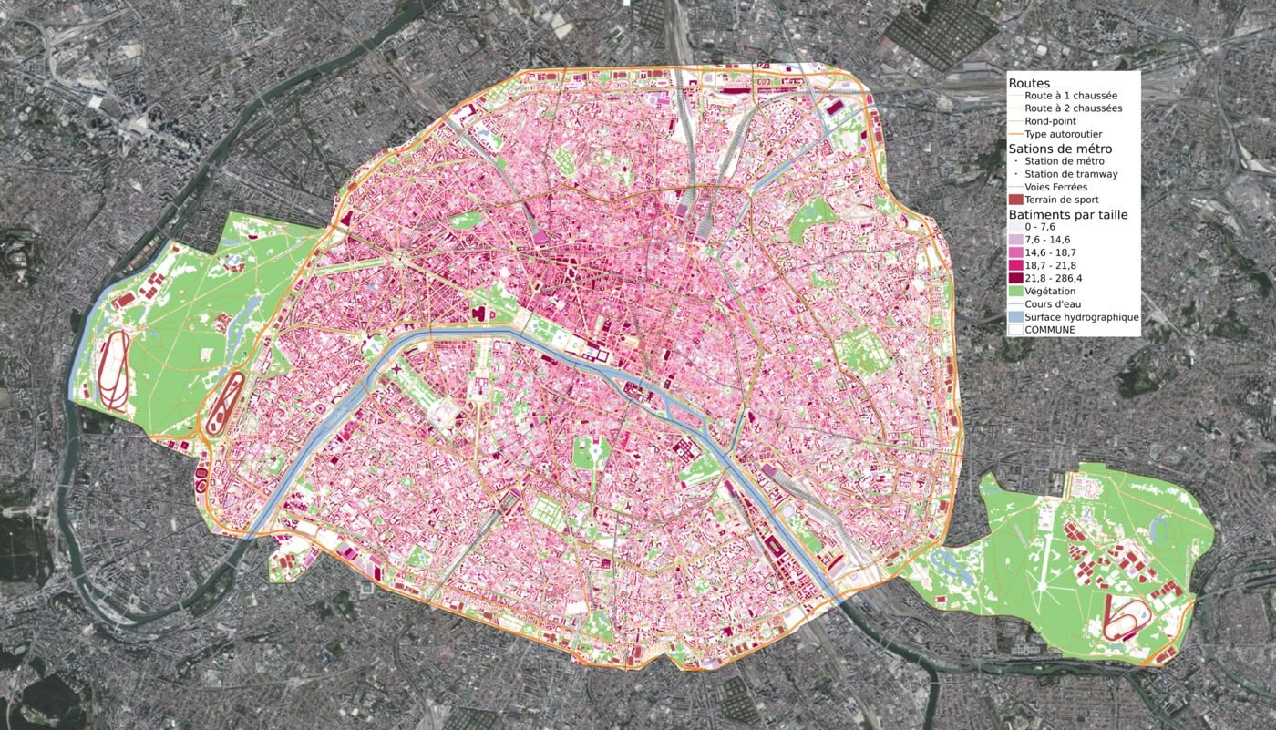
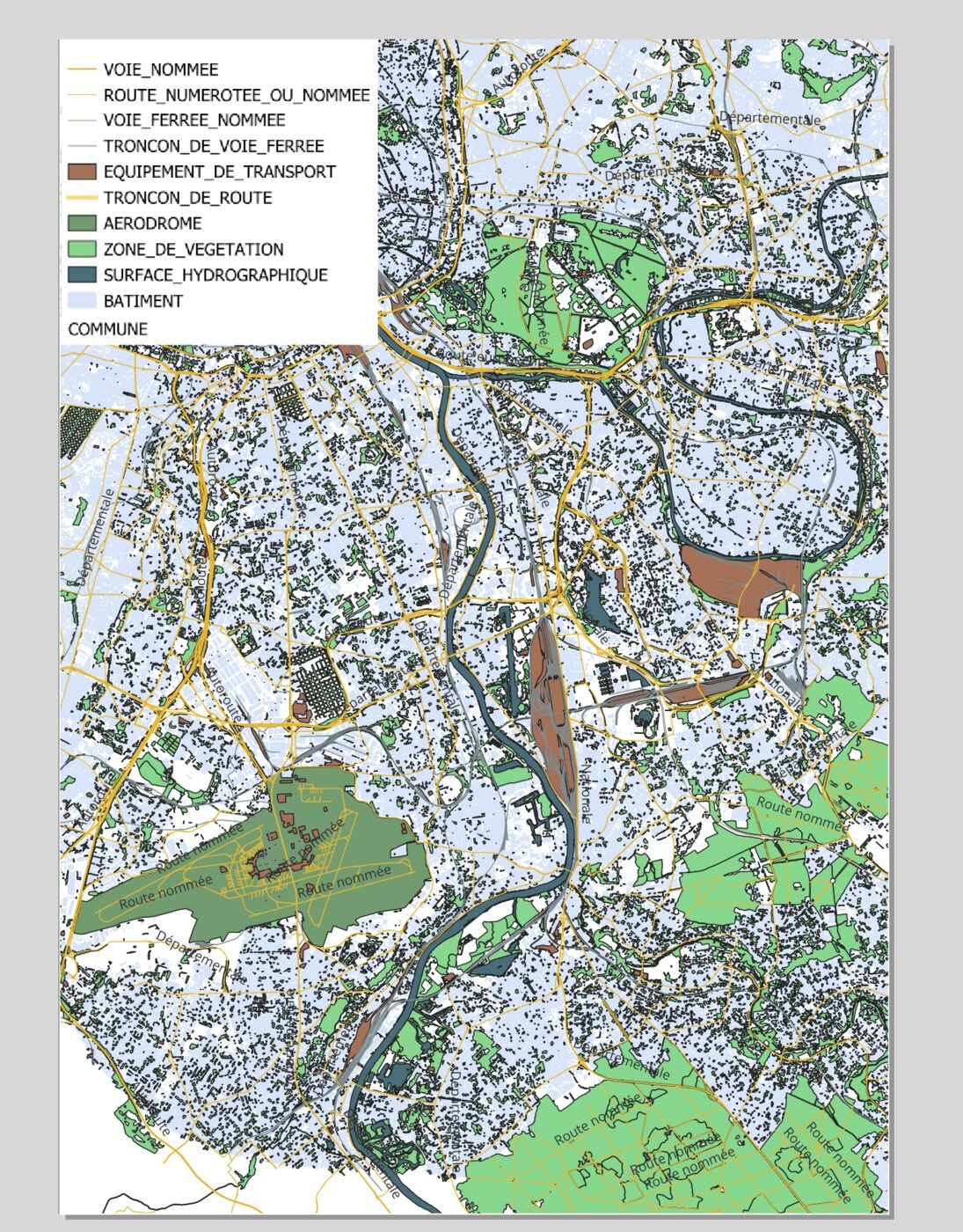
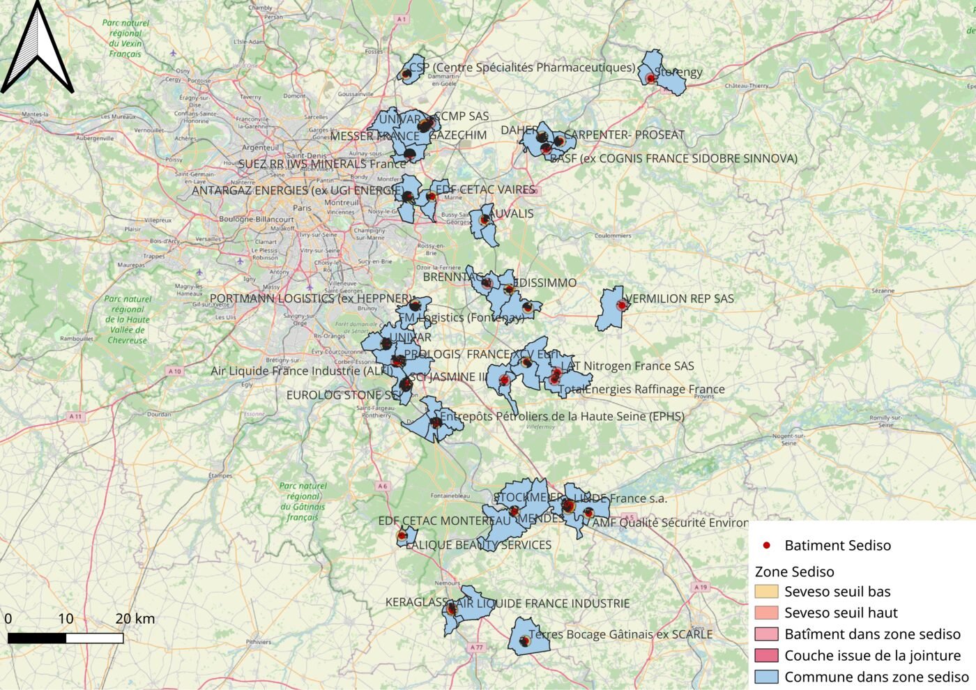
The group session takes place remotely, in a small group, over 2 days. This default format lets you work through exercises and get support suited to each person's level.
On request, the training is also available as one-to-one or in-house training, remotely or at your premises.
The content can be customised. A preliminary call lets us adapt the exercises to your data and your sector.
Group session
€400 / participant
- QGIS training · 2 days
- 4 remote half-days of training, in a small group of 3 to 8 participants
- Exercises and use cases tailored to participants
One-to-one training
Quote on request
In-house training
Quote on request
Do I need prior GIS knowledge?
No. The training adapts to your level, whether you are a complete beginner or already familiar with QGIS.
A preliminary call helps identify your needs and adapt the content.
Can several people be trained at the same time?
Yes. The training is offered as a remote group session, but also as one-to-one or in-house training, on site or remotely.
Exercises can be adapted to your team's needs.
How many participants are there in the group session?
Between 3 and 8 participants, to ensure a good level of individual support.
If the minimum of 3 participants is not reached, the session is postponed to the next date.
What equipment do I need?
A computer with QGIS installed. QGIS is free and open source software.
Installation instructions are sent before the training. A computer able to run QGIS smoothly is recommended.
What are the technical requirements for the remote session?
A stable internet connection and video conferencing software (Zoom, Google Meet…). The meeting link is sent before the session.
What are the training hours?
Hours are adapted to participants' needs and set during the preliminary call.
Can we work on our own data during the training?
Yes. In fact, this is encouraged whenever possible.
A preliminary call helps define the goals and select data suited to the exercises. This way, you work on questions directly related to your activity.
Which version of QGIS is used?
The training uses a recent stable version of QGIS. Installation instructions and the version to use are shared before the session.
€400 per participant · 2 days remote · Limited seats.
