Cycling around Taiwan
Route by Day
Layers
Why this map?
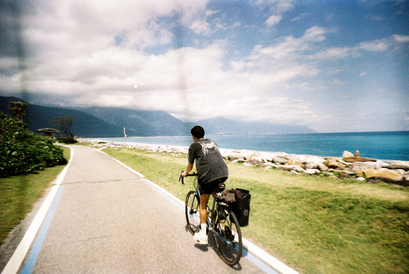
In March 2026, I cycled across Taiwan. A journey between mountains, the Pacific Ocean and coastal towns, with daily stages estimated between 60 and 100 km.
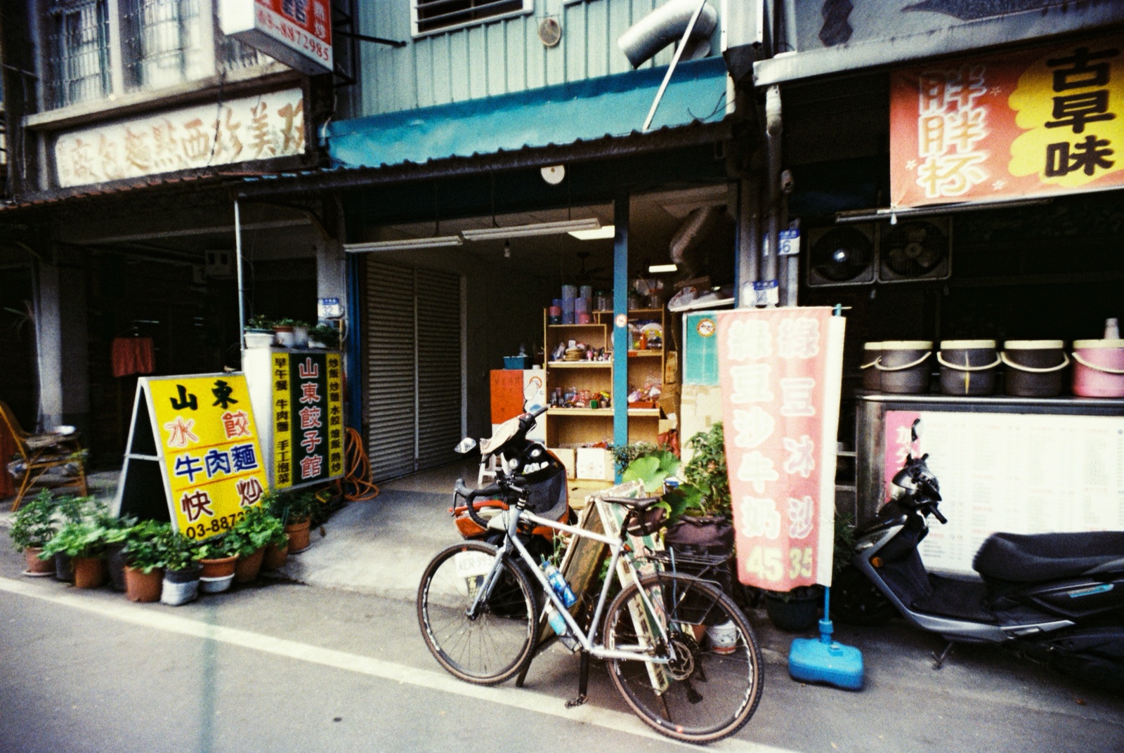
The route follows mainly the east coast, wilder and more remote. The west coast, far more industrial, was covered with a few train legs to fit the trip's timeline.
This interactive map was built before departure to plan the route, then refined after the journey.
It brings together the daily stages, real elevation data, points of interest along the way, and live weather at each location. You can also build your own itinerary, add your own markers, and switch between three visual modes : day, sunset and night. A tool designed for anyone who wants to take on the same route without starting from scratch.
And also an opportunity to build something that blends what I do for work with what I love doing on the side.
Pourquoi cette carte ?
En mars 2026, j'ai parcouru Taïwan à vélo. Un voyage entre montagnes, océan Pacifique et villes côtières, sur des étapes estimées entre 60 et 100 km par jour.
Le tracé suit principalement la côte est, plus sauvage. La côte ouest, beaucoup plus industrielle, a été traversée avec quelques étapes en train pour rentrer dans le timing du voyage.
Cette carte interactive est née avant le départ pour planifier l'itinéraire, et a été affinée après le voyage.
Elle regroupe les étapes, le dénivelé réel, les points d'intérêt le long du tracé, la météo en temps réel à chaque endroit. On peut aussi y construire son propre itinéraire, ajouter ses points perso, et choisir entre trois ambiances visuelles : jour, coucher de soleil, nuit. Un outil conçu pour ceux qui voudraient faire le même trajet sans repartir de zéro.
Et c'est aussi l'occasion de créer un projet qui mélange ce que je fais comme métier et ce que j'aime faire à côté.